Clontarf, Ireland
|
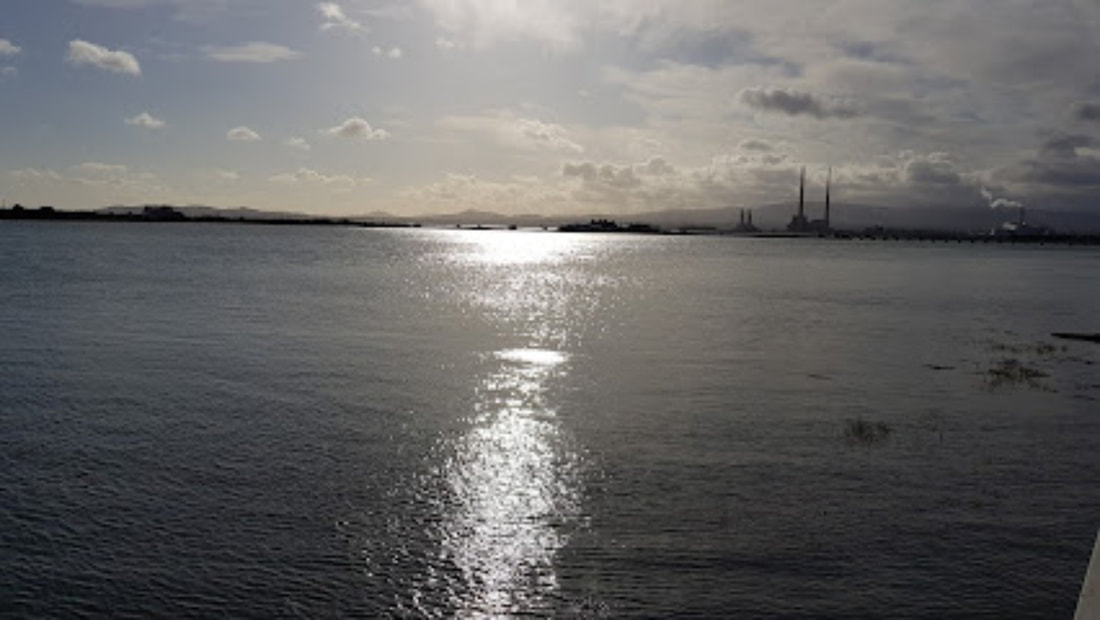
Clontarf (Irish: Cluain Tarbh, meaning 'meadow of the bull') is an affluent coastal suburb on the Northside of Dublin in the city's Dublin 3 postal district. Historically there were two centres of population, one on the coast towards the city, and the fishing village of Clontarf Sheds, further north on the coast at what is now Vernon Avenue. Clontarf has a range of commercial facilities in several locations, mainly centred on Vernon Avenue. It adjoins Fairview, Marino, Killester and Raheny. Clontarf is in the jurisdiction of Dublin City Council.
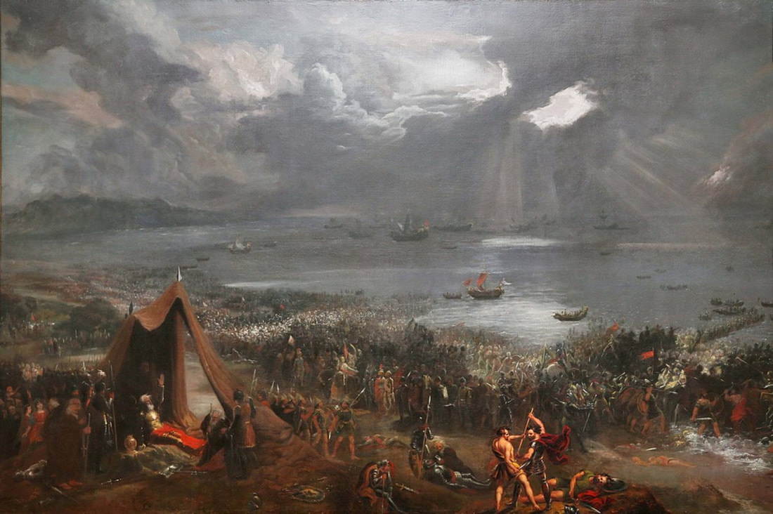
Clontarf was a core site of the Battle of Clontarf in 1014, in which Brian Boru, High King of Ireland, defeated the Vikings of Dublin and their allies, the Irish of Leinster. This battle, which extended over a wide area, from modern Ballybough to Kilbarrack, at least, is seen as marking an end to the Irish-Viking Wars. Following the defeat of the Vikings and the Leinstermen at the Battle of Clontarf in 1014, the High King of Ireland Brian Boru (Brian Boroimhe) is said to have been killed with a battle axe while he was found in prayer in his tent, by a Danish Viking named Brodu. So great was the fighting which ensured among competing kings afterwards that event that one analyst stated they, '...turned the country into a trembling sod.' Clontarf itself enjoyed relative peace for over 100 years until the arrival of the Normans in 1172. Shortly afterwards, Clontarf was granted to Adam de Pheypo, a follower of Strongbow. He built the first Clontarf Castle. A settlement at Clontarf has been dated to at least the 12th century, and in the 19th century remains from earlier times were thought to have been found. Clontarf features on the 1598 map "A Modern Depiction of Ireland, One of the British Isles" by Abraham Ortelius as "Clantarfe". |
|
