County Down, Ireland
|
County Down is one of the six counties of Northern Ireland, one of the nine counties of Ulster and one of the traditional thirty-two counties of Ireland. It covers an area of 961 sq mi (2,490 km2) and has a population of 531,665. It borders County Antrim to the north, the Irish Sea to the east, County Armagh to the west, and County Louth across Carlingford Lough to the southwest.
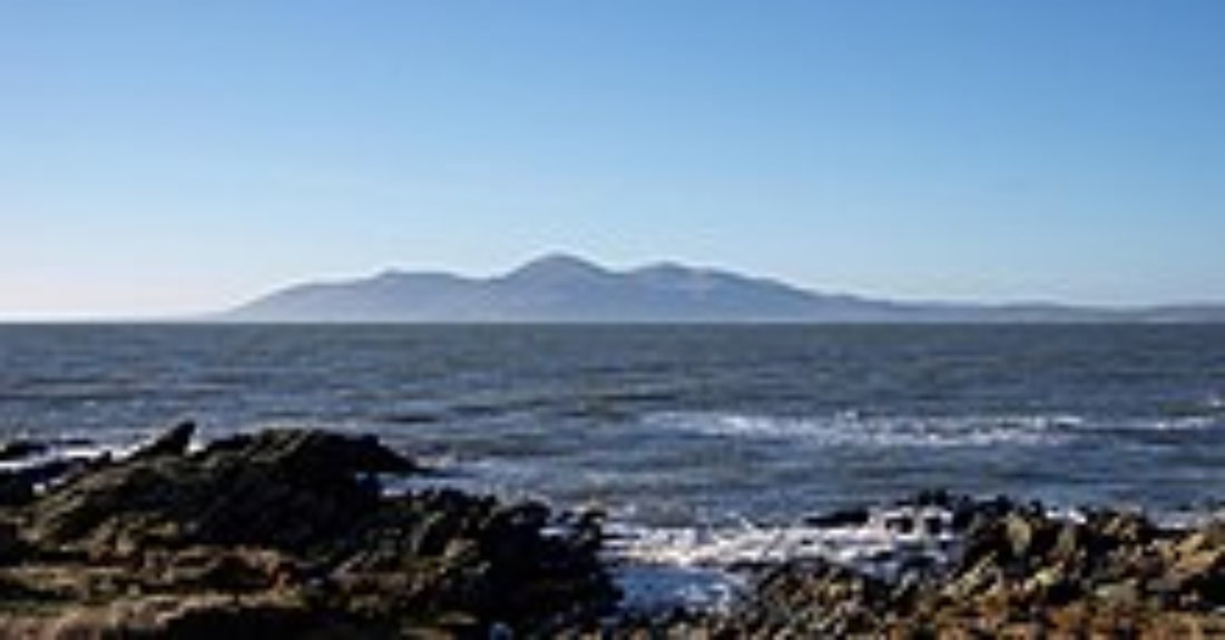
During the 2nd century the region was home to the Voluntii tribe, according to Ptolemy. From the 400s-1177 County Down formed a central part of the kingdom of Ulaid. Ulaid was a frequent target of Viking raids in the eighth and ninth centuries, however fierce local resistance prevented the Norse from setting up permanent settlements in the region. In 1001 a fleet led by Sigtrygg Silkbeard raided much of the region in retribution for the Ulaiden's refusal to offer him sanctuary from Brian Boru the previous year. The region was invaded by the Normans in 1177. From the 1180s-1600s the region would see waves of English and Scottish immigration. The county was privately planted during the Plantation period (16th-17th centuries). During the Williamite War in Ireland (1689–1691) the county was a centre of Protestant rebellion against the rule of the Catholic James II. After forming a scratch force the Protestants were defeated by the Irish Army at the Break of Dromore and forced to retreat, leading to the whole of Down falling under Jacobite control. Later the same year Marshal Schomberg's large Williamite expedition arrived in Belfast Lough and captured Bangor. After laying siege to Carrickfergus, Schomberg marched south to Dundalk Camp, clearing County Down and much of the rest of East Ulster of Jacobite troops. There are several islands off the Down coast: Mew Island, Light House Island and the Copeland Islands, all of which lie to the north of the Ards Peninsula. Gunn Island lies off the Lecale coast. In addition, there are a large number of small islands in Strangford Lough. County Down is where, in the words of the song by Percy French, "The mountains of Mourne sweep down to the sea", and the area around the granite Mourne Mountains continues to be known for its scenery. Slieve Donard, at 849 m (2,785 ft), is the highest peak in the Mournes, in Northern Ireland and in the province of Ulster. Another important peak is Slieve Croob, at 534 m (1,752 ft), the source of the River Lagan. |
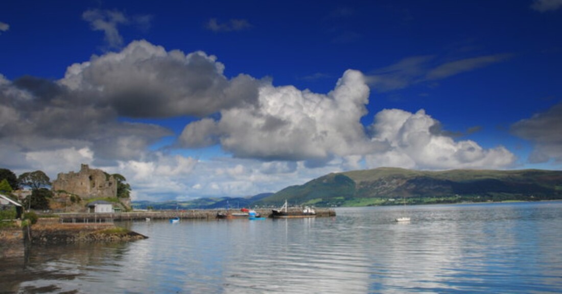
King John's Castle on Carlingford Lough.
Mourne Mountains
|
