Tyrone, Ulster, Ireland
|
County Tyrone from (Irish: Tír Eoghain, meaning 'land of Eoghan') is one of the six counties of Northern Ireland, one of the nine counties of Ulster and one of the thirty-two traditional counties of Ireland.
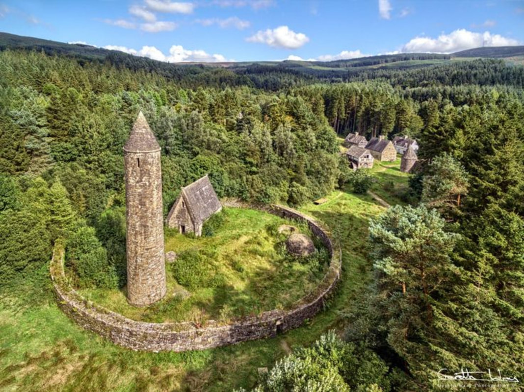
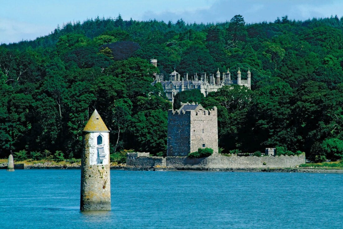
The name Tyrone is derived from Irish Tír Eoghain 'land of Eoghan', the name given to the conquests made by the Cenél nEógain from the provinces of Airgíalla and Ulaid. Historically, it was anglicised as Tirowen or Tyrowen, which are closer to the Irish pronunciation. Historically Tyrone (then Tír Eoghain or Tirowen)was much larger in size, stretching as far north as Lough Foyle, and comprised part of modern-day County Londonderry east of the River Foyle. The majority of County Londonderry was carved out of Tyrone between 1610 and 1620 when that land went to the Guilds of London to set up profit making schemes based on natural resources located there. Tyrone was the traditional stronghold of the various O'Neill clans and families, the strongest of the Gaelic Irish families in Ulster, surviving into the seventeenth century. The ancient principality of Tír Eoghain, the inheritance of the O'Neills, included the whole of the present counties of Tyrone and Londonderry, and the four baronies of West Inishowen, East Inishowen, Raphoe North and Raphoe South in County Donegal. In 1608 during O'Doherty's Rebellion areas of the country were plundered and burnt by the forces of Sir Cahir O'Doherty following his destruction of Derry. However, O'Doherty's men avoided the estates of the recently fled Earl of Tyrone around Dungannon, fearing Tyrone's anger if he returned from his exile. |
|
Tyrone, former county, Northern Ireland. It was bounded by the former counties of Londonderry (north) and Fermanagh and Monaghan (south), and by former County Armagh and Lough (lake) Neagh (east). It had an area of 1,260 square miles (3,263 square km). In the north, the Sperrin Mountains rise to 2,224 feet (678 m), the highest peaks being Sawel and Mullaghcloga. To the southwest, Bessy Bell (1,387 feet) and Mary Gray (803 feet) straddle the River Mourne. Sandstones and limestones are most common in the south and west of former Tyrone County. The moorlands of the mountainous regions are unproductive, but the river valleys are extremely fertile. Lough Neagh, the largest lake in the British Isles, is on what was the eastern boundary. The climate is temperate, with an average annual rainfall of more than 55 inches (1,400 mm) in the mountainous north.
The former county derived its name from Tir Eoghain (land of Eoghan, son of Niall of the Nine Hostages). From the 5th to the 16th century AD, the O’Nialls (or O’Neills) were rulers of this territory, and successive chiefs were installed at Tullaghoge near Dungannon. After the flight (1607) of Hugh O’Neill, 2nd Earl of Tyrone, from the English, ownership of his vast estates lapsed and passed to the crown; the lands were subsequently divided and granted by the king under the scheme for the Plantation of Ulster. Royalist forces under Lord Mountjoy established fortifications at strategic points; and Tyrone became colonized. In 1688–89 troops of James II occupied part of Tyrone, and Omagh was severely damaged.
The former county derived its name from Tir Eoghain (land of Eoghan, son of Niall of the Nine Hostages). From the 5th to the 16th century AD, the O’Nialls (or O’Neills) were rulers of this territory, and successive chiefs were installed at Tullaghoge near Dungannon. After the flight (1607) of Hugh O’Neill, 2nd Earl of Tyrone, from the English, ownership of his vast estates lapsed and passed to the crown; the lands were subsequently divided and granted by the king under the scheme for the Plantation of Ulster. Royalist forces under Lord Mountjoy established fortifications at strategic points; and Tyrone became colonized. In 1688–89 troops of James II occupied part of Tyrone, and Omagh was severely damaged.
