Stamford Bridge, Yorkshire, England
|
Stamford Bridge is a village and civil parish on the River Derwent in the East Riding of Yorkshire, England, approximately 5 miles (8 km) east of York and 22 miles (35 km) west of Driffield. The village lies on the borders with the Ryedale district of North Yorkshire and with the City of York unitary authority.
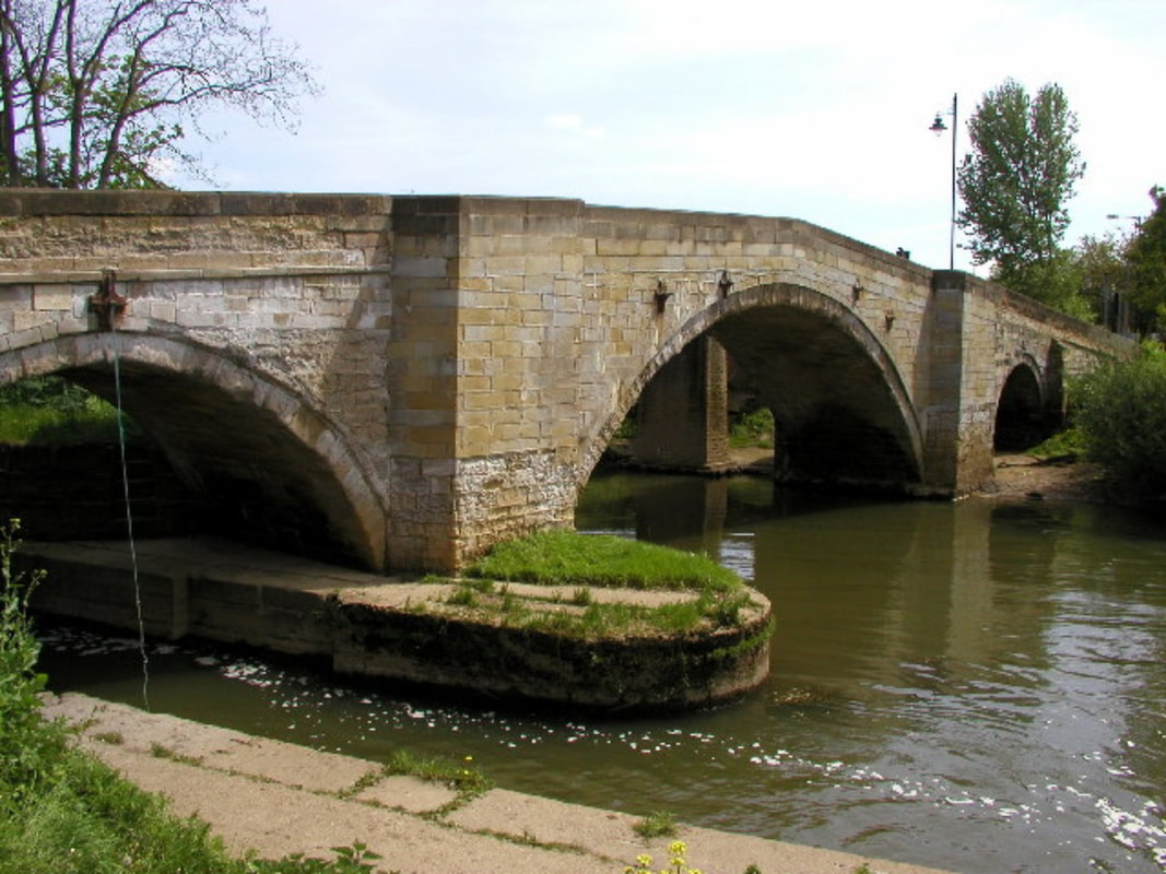
The village sits astride an ancient ford on the River Derwent. The Romans established a fort here about 70 AD, around which later developed a large linear civilian settlement focused on a bridge one mile (1.6 km) south of the present town. Iter I of the Antonine Itinerary lists "Derventio" as being seven Roman miles from Eboracum (York) which matches the distance from York. In relation to known discoveries under the town of Malton, antiquaries always assumed that Malton should be called Derventio. The remains at Stamford Bridge were not known to them, lying undiscovered under arable and pasture fields until quite recently. The Battle of Stamford Bridge 1066 memorial The Battle of Stamford Bridge on 25 September 1066 is often wrongly regarded as the traditional end of the Viking era in Britain - this ignores the substantial Norse possessions in Scotland until the aftermath of the Battle of Largs in 1263. At Stamford Bridge Harold Godwinson repelled the invading Norwegian force led by his brother Tostig Godwinson and King Harald Hardrada of Norway - but three weeks later his loss at the Battle of Hastings allowed the Norman conquest of England. The settlement was called Pons Belli by the Normans, meaning battle bridge. Rents of freeholders and cottagers were recorded in 1368 and there was a common oven recorded the same year. A Coin from the Roman times of Emperor Proculus was recovered in Stamford Bridge in 2012 The A166 east–west road crossing the river at Stamford Bridge is one of the main roads from York to the East Riding and the coast. The road bridge in the village was closed on 5 March 2007, for just over 11 weeks, so that essential repairs could be carried out, in light of the enormous volume of traffic that uses it, exceptional for such an old bridge (dating from 1727). The bridge re-opened on 22 May. In 1882 the population was 449; thanks to substantial new housing developments on the south side of the town, the parish population according to the 2011 UK census was 3,528,[1] an increase on the 2001 UK census figure of 3,394.[2] The village suffered from record floods in November 2000 which seriously flooded 30 businesses and homes. Flood defences have now been installed, costing £3.7 million. The history of Stamford Bridge is covered in British History Online: Catton Kexby, Scoreby, and Stamford Bridge West,[3] and Catton High and Low Catton and Stamford Bridge East.[4] en.wikipedia.org/wiki/Stamford_Bridge,_East_Riding_of_Yorkshire |
The road bridge over the River Derwent
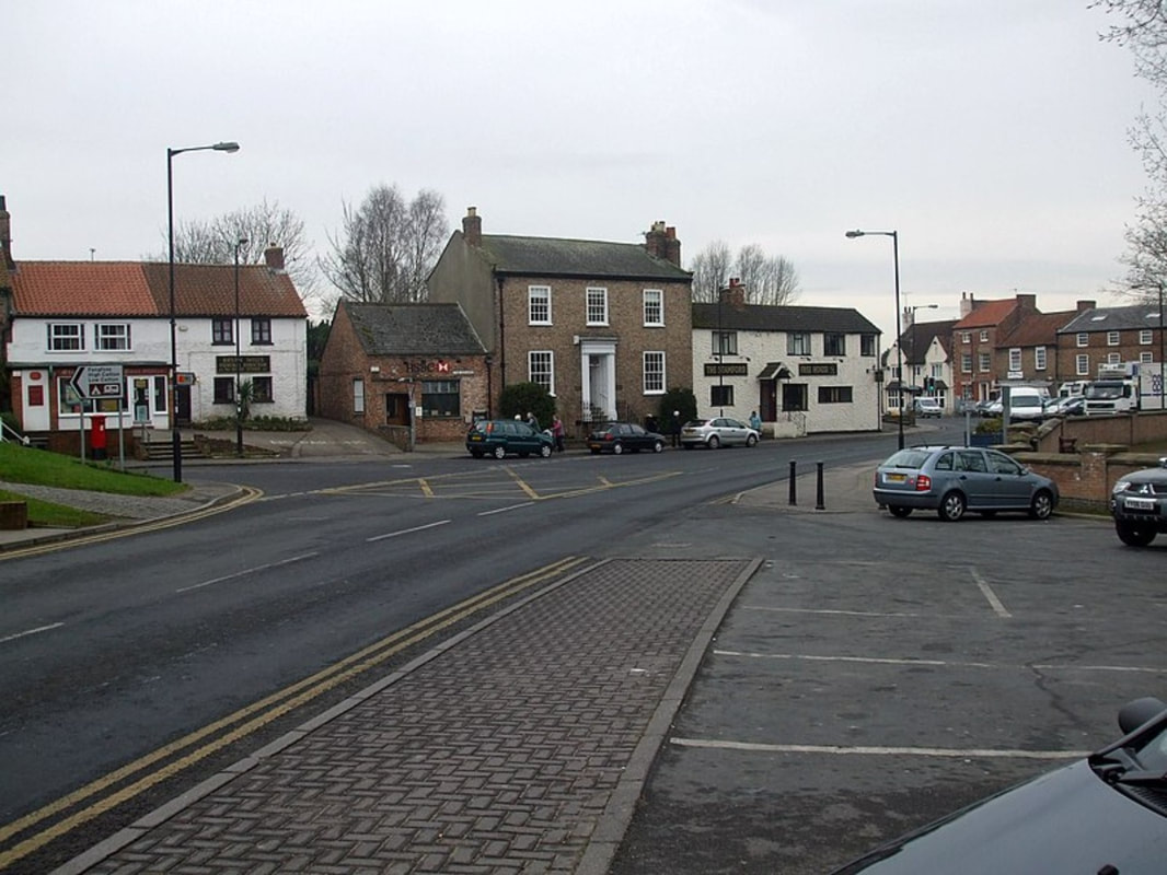
Centre of Stamford Bridge, East Riding of Yorkshire, England. The junction of the A166 and Church Road. The photo was taken looking west towards the Square.
|
