Sligo, Ireland
|
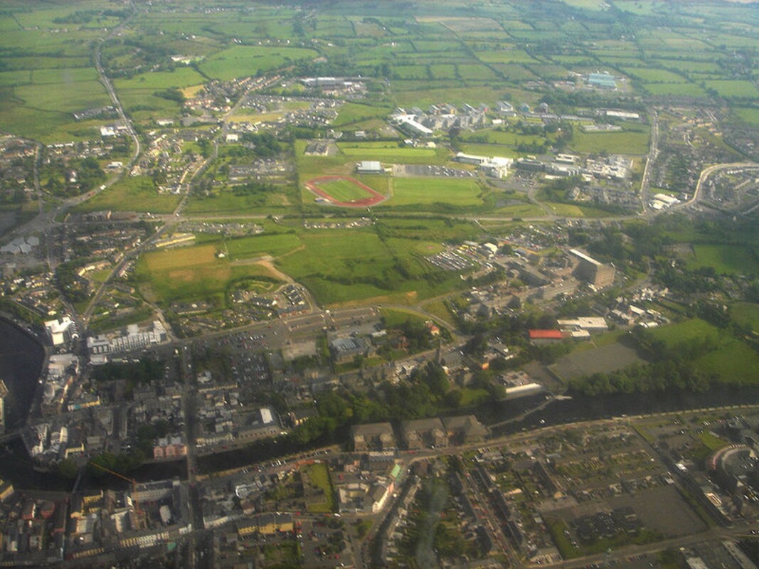
Sligo (SLY-goh; Irish: Sligeach, meaning 'abounding in shells') is a coastal seaport and the county town of County Sligo, Ireland, within the western province of Connacht.
The importance of Sligo's location in prehistory is demonstrated by the abundance of ancient sites close by and even within the town. For example, Sligo town's first roundabout was constructed around a megalithic passage tomb at Abbeyquarter North in Garavogue Villas. This is an outlier of the large group of monuments at Carrowmore on the Cúil Irra Peninsula on the western outskirts of the town. The area around Sligo town has one of the highest densities of prehistoric archaeological sites in Ireland, and is the only place in which all classes of Irish megalithic monuments are to be found together. |
|
Knocknarea mountain, capped by the great cairn of Miosgan Maeve, dominates the skyline to the west of the town. Cairns Hill on the southern edge of the town also has two very large stone cairns.
Excavations for the NRA for the N4 Sligo Inner Relief Road in 2002 revealed an early Neolithic causewayed enclosure (c. 4000 B.C.) at Maugheraboy on high ground overlooking the town from the south. This is the oldest causewayed enclosure so far discovered in Britain or Ireland.[8] It consists of a large area enclosed by a segmented ditch and palisade, and was perhaps an area of commerce and ritual. These monuments are associated with the coming of agriculture and hence the first farmers in Ireland. According to archaeologist Edward Danagher, who excavated the site, "Magheraboy indicates a stable and successful population during the final centuries of the fifth millennium and the first centuries of the fourth millennium BC". Danagher's work also documented a Bronze Age Henge at Tonafortes (beside the Carraroe roundabout) on the southern outskirts of Sligo town.
Sligo Bay is an ancient natural harbour, being known to Greek, Phoenician and Roman traders as the area is thought by some to be the location marked as the city of Nagnata on Claudius Ptolemy's 2nd century AD co-ordinate map of the world. During the early medieval period, the site of Sligo was eclipsed by the importance of the great monastery founded by Columcille 5 miles to the north at Drumcliff. By the 12th century, there was a bridge and small settlement in existence at the site of the present town.
