Hedmark, Norway
|
Hedmark (was a county in Norway before 1 January 2020, bordering Trøndelag to the north, Oppland to the west, Akershus to the south, and Sweden to the east.
Hedmark and Oppland counties were merged into Innlandet county on 1 January 2020, when Norway's former 19 counties became 10 bigger counties / regions |
|
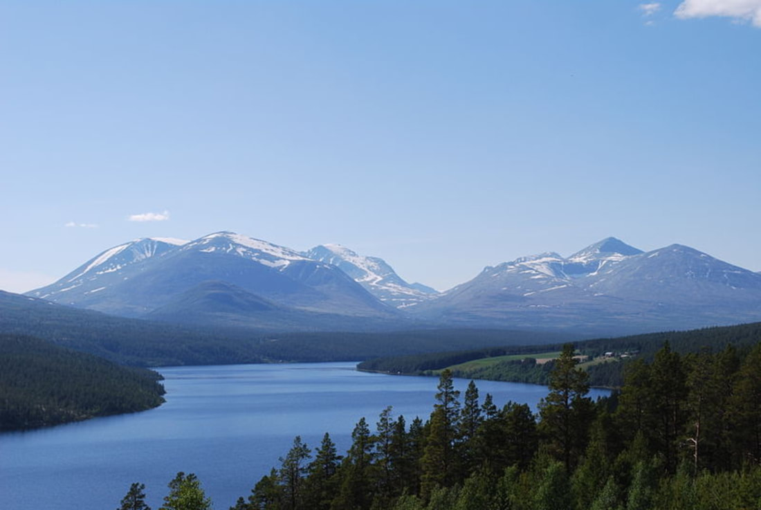
Hedmark made up the northeastern part of Østlandet, the southeastern part of the country. It had a long border with Sweden to the east (Dalarna County and Värmland County). The largest lakes were Femunden and Mjøsa, the largest lake in Norway. Parts of Glomma, Norway's longest river, flowed through Hedmark.
Hedmark was traditionally divided into: Hedemarken (east of the lake Mjøsa), Østerdalen ("East Valley" north of the town Elverum), and Solør / Glåmdalen (south of Elverum) and Odal in the very south. Hedmark and Oppland were the only Norwegian counties with no coastline.
Hamar, Kongsvinger, Elverum and Tynset were cities in the county. Hedmark was one of the less urbanized areas in Norway; about half of the inhabitants lived on rural land. The population was mainly concentrated in the rich agricultural district adjoining Mjøsa to the southeast. The county's extensive forests supplied much of Norway's timber; at one time, logs were floated down Glomma to the coast but are now transported by truck and train.
The county was divided into three traditional districts. Those were Hedmarken, Østerdalen and Solør (with Odalen and Vinger).
Hedmark was originally a part of the large Akershus amt, but in 1757 Oplandenes amt was separated from it. Some years later, in 1781, this was divided into Kristians amt (now Oppland) and Hedemarkens amt. Until 1919, the county was called Hedemarkens amt.
The Old Norse form of the name was Heiðmork. The first element is heiðnir, the name of an old Germanic tribe and is related to the word heið, which means moorland. The last element is mork 'woodland, borderland, march'.
