Helgeland, Nordland, Norway
|
Helgeland is the most southerly district in Northern Norway. Generally speaking, Helgeland refers to the part of Nordland county that is located south of the Arctic Circle. It is bordered in the north by the Saltfjellet mountains and Svartisen glacier, which form a natural border with the Salten district. In the south, Helgeland borders Trøndelag county.
The district covers an area of about 7,271 sq miles, with nearly 79,000 inhabitants. |
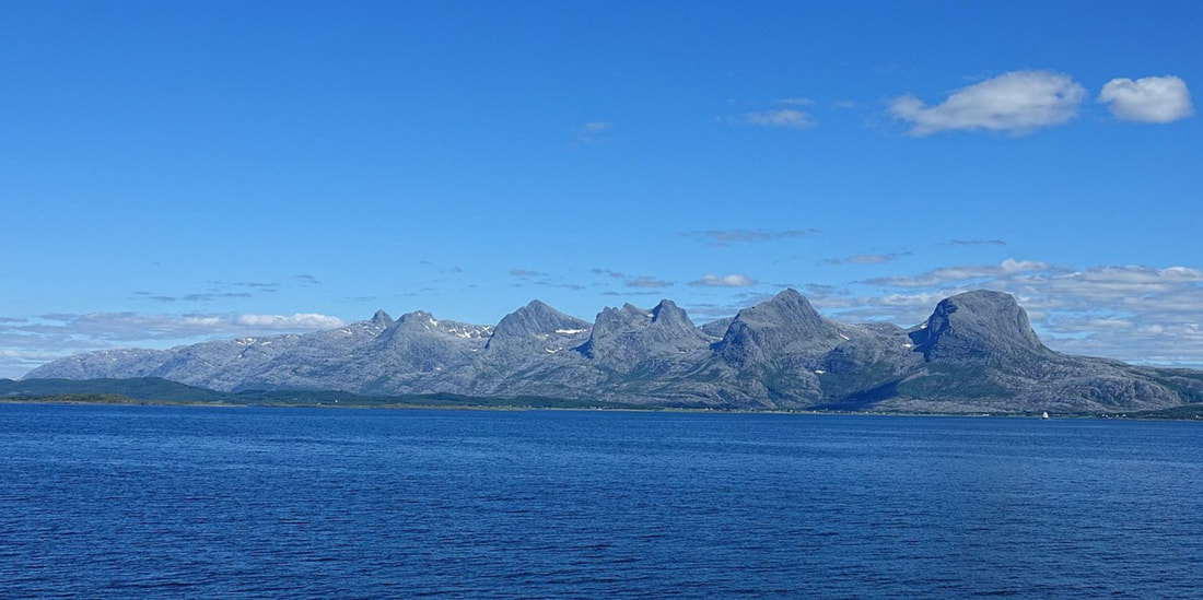
The Seven Sisters in Alstahaug.
|
There are four towns in the district: from south to north these are Brønnøysund, Mosjøen, Sandnessjøen, and Mo i Rana.
Helgeland is commonly divided into three or four sections:
Southern Helgeland (actually southwest), which consists of the municipalities Bindal, Sømna, Brønnøy, Vega and Vevelstad.
Central Helgeland, which is sometimes further divided into the regions:
Inner Helgeland, which consists of the municipalities Grane, Hattfjelldal and Vefsn.
Outer Helgeland, which consists of the municipalities Leirfjord, Alstahaug, Herøy and Dønna.
Northern Helgeland, which consists of the municipalities Hemnes, Rana, Nesna, Lurøy, Træna and Rødøy.
