Stord, Hordaland, Norway
|
Stord is a municipality in Vestland county, Norway. It is located in the traditional district of Sunnhordland. Stord is sometimes called "Norway in miniature" since it has such a variety of landscapes: coastline, fjords, forests, agricultural land, and mountain areas. The administrative centre of the municipality is the town of Leirvik, which is also the largest town in the municipality and the whole region of Sunnhordland.
The battle of Stord was fought on or by this island between the Norwegian king Hakon Haraldsson and the Danish king Harald "Bluetooth" Gormsson, supported by Hakon's brother's sons led by Harald "Greycloak" Eiriksson. |
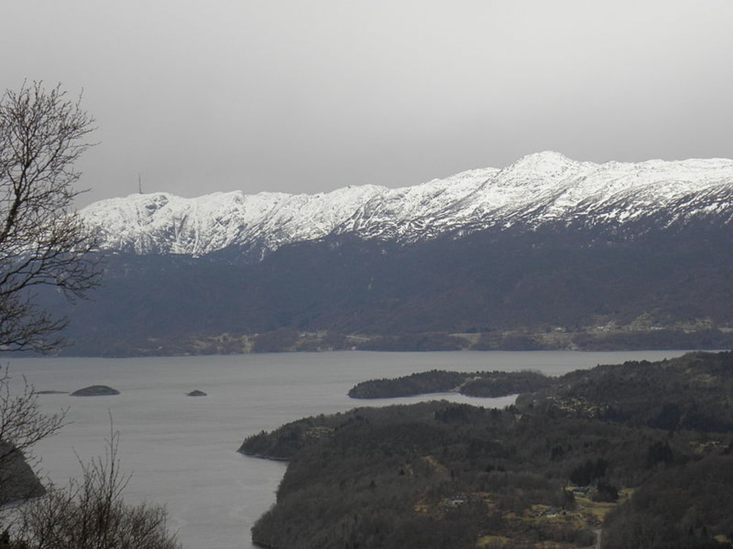
View of Stord, looking west from Tysnes
|
Stord is located on the southern half of the island of Stord (the northern part is part of Fitjar Municipality). The municipality also includes the islands of Huglo Storstøya, Nautøya, and Føyno. The Hardangerfjorden runs along the southern border of the island municipality, separating it from the municipalities of Kvinnherad, Vindafjord, and Sveio. The Langenuen strait runs along the eastern side, separating it from Tysnes municipality. The Stokksundet and Digernessundet straits runs along the western border, separating it from the municipality of Bømlo. The mountain Mehammarsåto is the highest point in the municipality.
The municipality is named after the large island of Stord (Old Norse: Storð). The name is old and it was (and still is) used in Icelandic literature meaning "ground" or "earth". Before 1889, the name was written "Stordøen".
The municipality is named after the large island of Stord (Old Norse: Storð). The name is old and it was (and still is) used in Icelandic literature meaning "ground" or "earth". Before 1889, the name was written "Stordøen".
