Vik, Hordaland, Norway
|
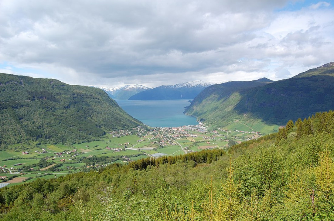
Vik is a municipality in Vestland county, Norway. It is located on the southern shore of the Sognefjorden in the traditional district of Sogn. The administrative center of Vik is the village of Vikøyri. Other villages in the municipality include Feios, Fresvik, Nese, and Vangsnes.
Vik was established as a municipality on 1 January 1838 (see formannskapsdistrikt law). The original municipality was identical to the Vik parish (prestegjeld) with the |
|
sub-parishes (sokn) of Hopperstad, Hove, and Arnafjord (on the south side of the fjord) and Kvamsøy (on the north side of the fjord).
The name (Old Norse: Vík) is identical with the word vík which means inlet or cove, possibly referring to the small bay off the main Sognefjorden at the village of Vikøyri.
Vik is located on the southern shores of the Sognefjorden and west of the Aurlandsfjorden. The municipality is bordered on the west by the municipalities of Høyanger and Modalen, to the south by Voss and Vaksdal, and to the east by Aurland. Across the Sognefjorden to the north and east lie the municipalities of Sogndal and Lærdal.
The lake Holskardvatnet is located in the southwest part of the municipality. The Fresvikbreen glacier is located between the villages of Fresvik and Vikøyri.
The farms in Vik lie on old marine terraces, and many of the burial mounds lie on the edges of these. Several of the mounds carried rich finds that show how the people of Vik traded and travelled both domestically and abroad. Especially the burial fields at Stadheim and Hove have given rich finds. The Hove mounds were built about 400-500 AD. At Hopperstad, finds have been made that prove Viking raids from Vik. These finds are bronze bowls and bronze dishes, things that probably found their way to Norway with the Viking raids.
