Tysvaer, Rogaland, Norway
|
Tysvær is a municipality in Rogaland county, Norway. It is part of the Haugalandet region. The municipality is located on the Haugalandet peninsula on the northern side of the Boknafjorden, just east of the towns of Kopervik and Haugesund. The administrative centre of the municipality is the village of Aksdal. Other villages in the municipality include Dueland, Førre, Grinde, Hervik, Hindaråvåg, Nedstrand, Skjoldastraumen, Susort, Tysvær, and Yrke.
The European route E39 highway and European |
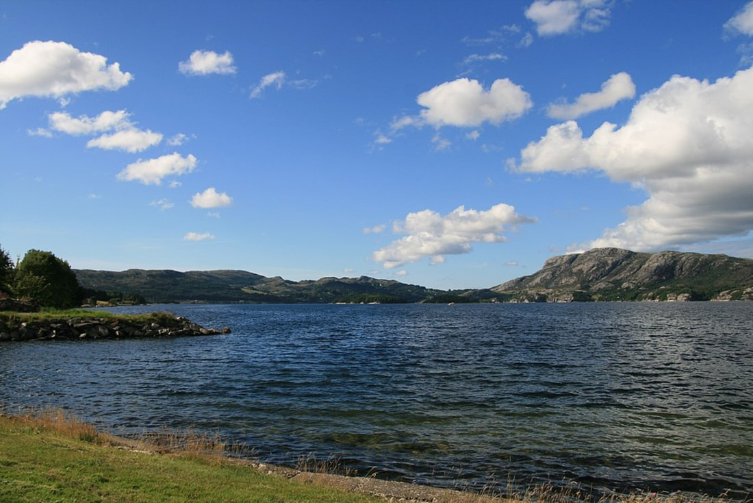
View of the lake Aksdalsvatnet
|
route E134 highways traverse the municipality with their junction located at Aksdal in Tysvær. The Frekasund Bridge on the E39 highway connects the mainland of Tysvær to the island municipality of Bokn to the south. The Karmøy Tunnel connects Tysvær to the town of Kopervik in neighboring Karmøy municipality.
The municipality of Tysvær was established in 1849 when it was separated from the large municipality of Skjold. Initially, the municipality had a population of 2,058. During the 1960s, there were many municipal mergers across Norway due to the work of the Schei Committee. On 1 January 1965, the following areas were merged into a newly enlarged municipality of Tysvær:
the old municipality of Tysvær (population: 1,862)
the municipality of Nedstrand (population: 1,200)
The municipality lies on the northern shore of the Boknafjorden, with the Skjoldafjorden and Vindafjorden both partially located within the municipality. The island of Borgøy lies in the middle of the Skjoldafjorden in Tysvær.
The lake Aksdalsvatnet is the largest lake in the municipality. Another notable lake is Stakkastadvatnet, which lies on the Haugesund-Tysvær municipal border.
Tysvær has a number of scenic walks including Heggelifjellet and Kvinnesland, the source of the name Kvindesland.
